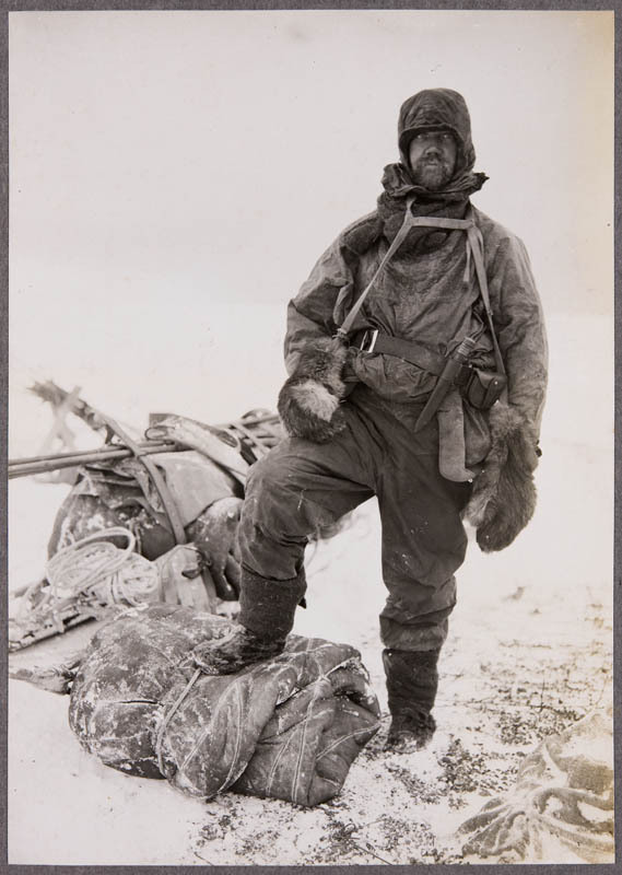
While the main focus of Captain Robert Falcon Scott’s Terra Nova expedition (1910–1913) was to reach the South Pole, important scientific work was also undertaken. One part of this work was the exploration of the Dry Valleys area, first seen during Scott’s 1901–1904 Discovery expedition.


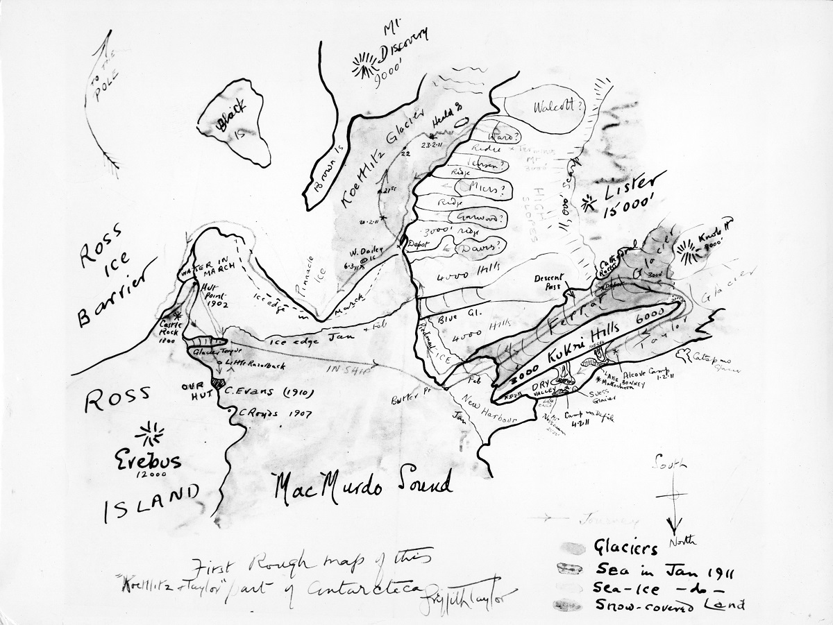
This hand-drawn map by leader Thomas Griffith Taylor shows the route that the first geological exploration party took between 27 January and 14 March 1911. The team of four were dropped off at Butter Point by the Terra Nova with two sledges. When loaded with their gear, the sledges weighed 475 kg so each man was pulling more than 100 kg over rough terrain. The team was responsible for the first maps and geological interpretations of a significant area of Antarctica. You can follow their journey along the line with arrows indicating direction by starting at the “IN SHIP” line to Butter Point.
The map was photographed from Griffith Taylor’s field journal by Antarctic historian Les Quartermain, probably in the 1960s. The original colour version is believed to be in Griffith Taylor’s papers at the National Library of Australia.


