
If you've visited the Museum recently, you might have noticed the aerial photograph of nesting penguins projected on the foyer wall.
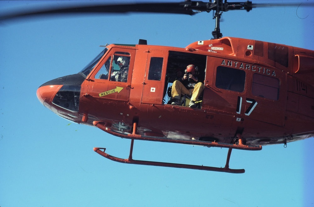
The image – part of the world's largest Adelie Penguin colony at Cape Adare in Antarctica – is used in our Cape Adare Penguin Count competition. To enter the competition, you have to guess how many penguins are in the photograph. The closest guess will win.
The photo was taken from a helicopter and is only a tiny part of the Cape Adare Adelie Penguin colony. But how do we know how many penguins really are in it?
Penguin expert Kerry Barton of Manaaki Whenua – Landcare Research explains:
Scientists use special software called SAPC to count the penguins. SAPC creates a kind of jigsaw puzzle using the base images to ensure every subcolony and every nesting bird is included. It also ensures no bird is included more than once.
Every image is different depending on factors like the terrain of the colony and the time of day. Scientists need to tell SAPC what a nesting penguin looks like on each image they are counting.
They use a number of criteria to assess if a bird is nesting:
1. Location — birds stain the ground with guano and this is the most obvious sign that birds are spending a lot of time in one area. Subcolony shape is delineated by the grey/pinkish colour against the dark guano free areas.
2. Shape — penguins are black (or black and white if a bird is standing) dots on the images. The shape of the dot depends on sun position and orientation of the photo (vertical to oblique). If the image is taken from directly above the birds (veritical), the dot is shaped like a rugby ball, if the image is oblique the dot is more tear shaped because it shows both the bird and their shadow.
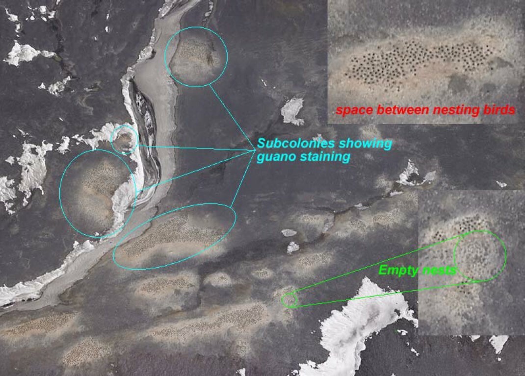
3. Colour intensity of the dots — empty nests may still appear as dots. Nesting on the same spot for several years causes the permafrost to drop, leaving a hollow in the ground. If a nest is not occupied these spaces still show up in the vertical images but they are a much lighter colour.
4. Nesting space — birds nest just beyond the pecking range of their neighbours, which creates a distinct nesting space pattern on the images. The nesting space may vary across a range of images of the same colony depending on the terrain. On steep terrain the spacing may look closer than on flat terrain and the dots in subcolonies at the edge of the images will also look closer together due to a more oblique angle and dot shape. Birds very close together are probably mates and only one of the pair should be counted. Penguin counters try to minimise this happening by timing the aerial photography during the first incubation shift, when one of the pair is absent, but in years of high nest failure there will often be several birds standing around within the colony.


